
Image 1 of 11
Engineering insight · Spatial intelligence
Practical expertise for Africa’s water, land & agricultural resources.
A specialist consulting service focused on agricultural development, water resources, irrigation, environmental and earth sciences.
- Agricultural engineering
- Water resources
- Remote sensing & GIS
Imagen Consulting delivers practical engineering and spatial intelligence for complex projects across Africa.
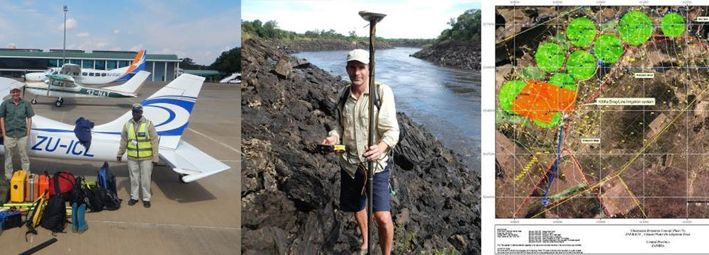
We provide expertise in Agricultural Engineering, Remote Sensing and GIS, including airborne laser scanning, current high-resolution satellite imagery, GPS and digital data capture, and spatial-data systems development. Our customised solutions help clients understand projects clearly and act quickly.
Operating across southern Africa and the broader continent since 2002, we apply strong practical engineering experience wherever spatial data and resource evaluation are essential to sound analysis, sustainability and problem solving.
Who we work with
Trusted across sectors.
- Agricultural development agencies
- World Bank
- Local, national and regional governments
- Natural resources and infrastructure organisations
- Exploration and extractive industries
- Forestry operations
- Planners and developers
- Engineering and utility sectors
A practical, independent perspective